


In today’s fast-paced construction and environmental sectors, site investigations play a pivotal role in ensuring project success. With the integration of advanced technologies, the risk assessment process has become more precise, cost-effective, and efficient. This article delves into the importance of site investigations, innovative tools shaping the field, and how these advancements benefit projects in Sydney and beyond.
Why Are Site Investigations Critical for Project Success?
Site investigations are fundamental to identifying geotechnical and environmental risks before commencing any project. These assessments protect public safety, ensure regulatory compliance, and minimise costly delays or redesigns.
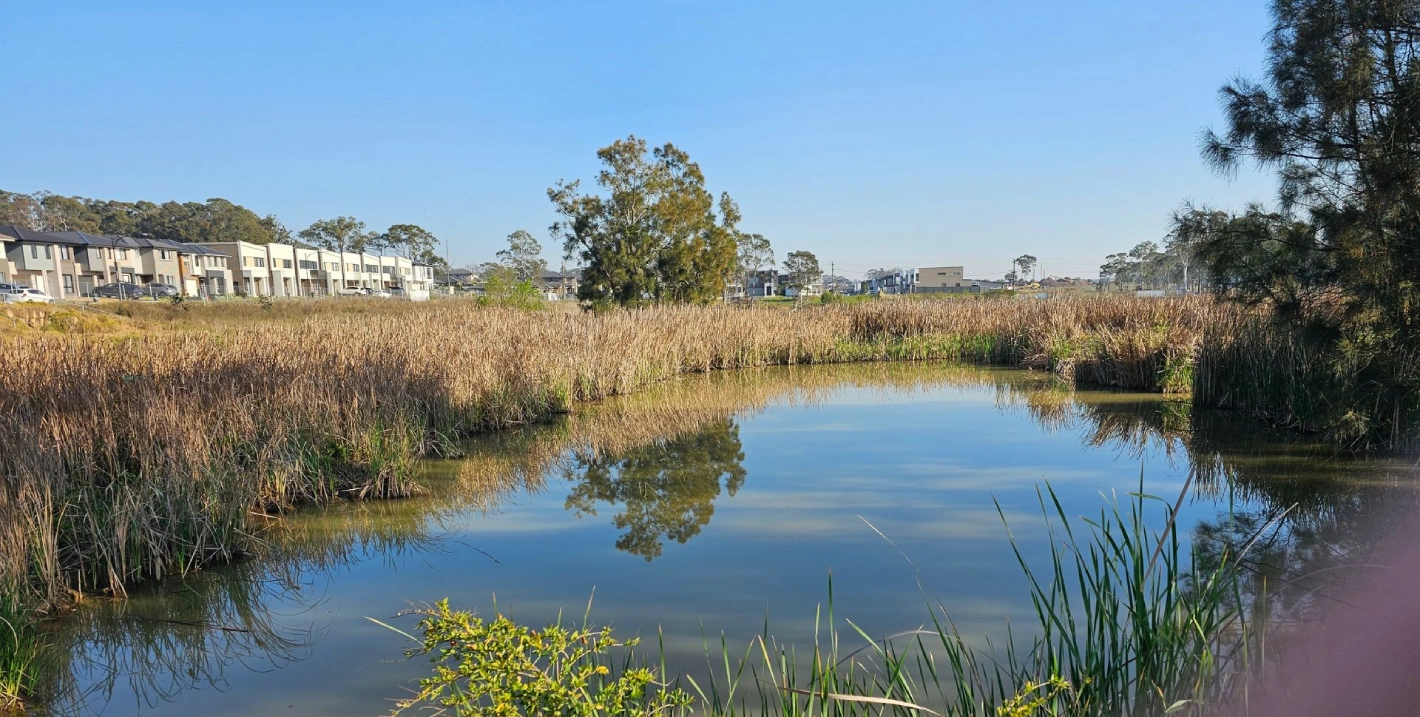
For example, in Sydney’s rapidly urbanising areas, understanding soil stability and groundwater conditions can prevent structural failures or flooding risks. Moreover, identifying contamination early helps developers avoid significant cleanup costs and project delays.
Key Benefits:
- Safety Assurance: Ensures construction foundations are stable and secure.
- Regulatory Compliance: Aligns with environmental and local council standards.
- Cost Efficiency: Mitigates unexpected expenses through proactive planning.
By leveraging modern risk assessment tools, project managers can make informed decisions, reducing the potential for unforeseen disruptions.
What Are the Key Phases of a Site Investigation?
A comprehensive site investigation involves the following phases:
- Desktop Study: Reviewing maps, records, and past site uses to identify preliminary risks.
- Site Walkover: Physically inspecting the area for visual hazards or unique site features.
- Field Investigation: Conducting subsurface exploration using techniques like borehole drilling and soil sampling.
- Laboratory Analysis: Testing samples for contamination, soil composition, or groundwater quality.
- Reporting: Delivering a detailed risk assessment with actionable recommendations.
For Sydney-specific projects, challenges like proximity to waterways or densely built environments often require additional assessments, such as groundwater modelling or vibration monitoring.
What Innovative Tools Are Transforming Risk Assessments?
Modern advancements in technology have redefined risk assessment during site investigations:
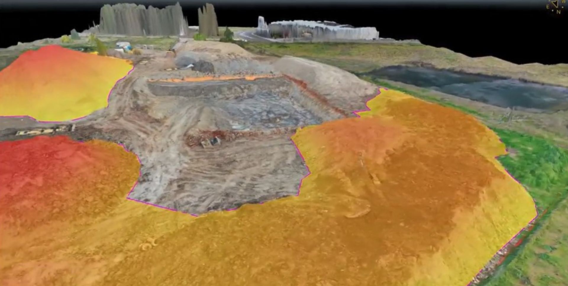
- Drone Surveys: Drones capture high-resolution aerial imagery and topographic data, especially useful for large or inaccessible sites.
- Ground-Penetrating Radar (GPR): GPR provides real-time subsurface imaging, identifying utilities, voids, or buried hazards without invasive digging.
- Geospatial Mapping: GIS platforms analyse spatial data, offering insights into environmental conditions and potential risks.
- 3D Modelling: Advanced modelling tools visualise site conditions, enabling more accurate planning and risk mitigation.
These tools have been instrumental in tackling Sydney's unique challenges, such as working in urban areas with restricted access or fragile heritage sites.