


.jpeg)
Soil and waste classifications form the bedrock of environmental management in construction and development projects. Recent advancements in this field have prompted significant changes in how we understand and categorise soil and waste materials. These developments have profound implications for projects in regions like Sydney, Wollongong, and Byron Bay, where environmental concerns are paramount.
In Sydney, Wollongong, and Byron Bay, the classification of soil and waste materials is governed by stringent regulations aimed at protecting the environment and public health. These regulations are informed by scientific principles and empirical data, ensuring that decisions are based on objective criteria. For instance, in New South Wales (NSW), the Protection of the Environment Operations (Waste) Regulation 2014 outlines specific criteria for classifying waste materials, including hazardous and non-hazardous wastes, as well as requirements for their storage, transportation, and disposal. Similarly, the Environmental Planning and Assessment Act 1979 (NSW) mandates soil assessments for development projects, with guidelines established by bodies like the NSW Environment Protection Authority (EPA) and the Department of Planning, Industry and Environment. These regulations are continuously updated to reflect advancements in scientific understanding and technological capabilities, ensuring that soil and waste classifications remain robust and effective in safeguarding the environment and public health.
Soil Classifications
Soil classifications are typically based on parameters such as texture, structure, and composition. Recent advances in soil science have led to a more nuanced understanding of soil properties and behaviour. For example, the emergence of digital mapping technologies and remote sensing techniques has enabled more precise soil classification and mapping. In regions like New South Wales (NSW), where varying soil types are prevalent, this enhanced precision is crucial for effective land management and development. The Soil Landscapes of NSW dataset, developed by the NSW Department of Planning, Industry and Environment, provides detailed information on soil types, enabling planners and developers to make informed decisions regarding land use and environmental management. Additionally, initiatives such as the Soil and Landscape Grid of Australia project aim to create high-resolution soil maps using advanced modelling techniques, further enhancing our understanding of soil characteristics and distribution.
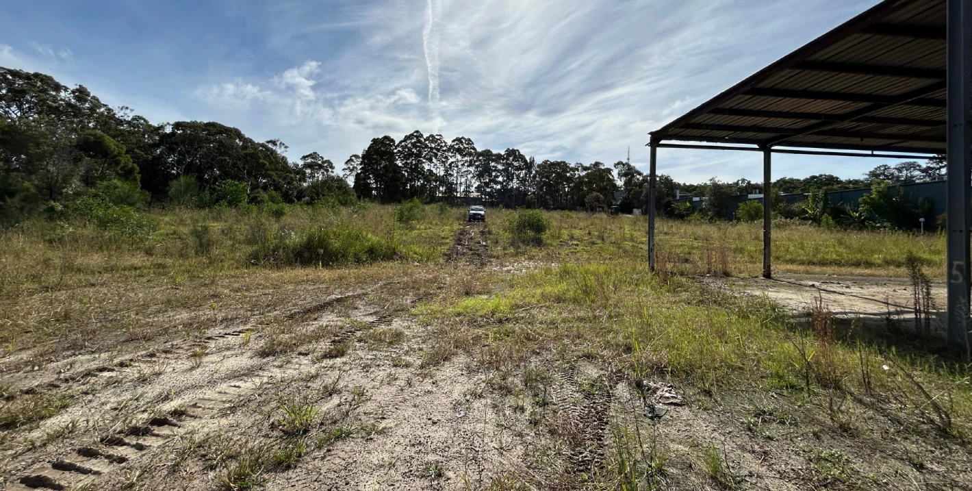
In the context of construction projects, soil classifications play a crucial role in determining suitable foundation designs, excavation methods, and land use planning. Understanding the properties of soil helps engineers and planners assess the risks associated with construction activities and implement appropriate mitigation measures. For example, in coastal areas like Wollongong and Byron Bay, where soil erosion and stability are significant concerns, accurate soil classification is essential for designing resilient infrastructure and erosion control measures. The NSW Government's Coastal Management Program incorporates soil assessments as part of its coastal hazard planning, ensuring that development in these areas is conducted in a manner that minimises risks to both infrastructure and the natural environment. Furthermore, advancements in geotechnical engineering, such as the use of ground-penetrating radar and cone penetration testing, enable engineers to gather detailed data on soil properties, facilitating more precise and effective construction practices.