Article Summary
A geotechnical survey is a detailed investigation of soil, rock and groundwater conditions on a site before construction or development begins. It determines ground stability, bearing capacity, soil reactivity and other factors that influence foundation design and compliance.
In Australia, geotechnical surveys are commonly required for residential builds, commercial and industrial developments, subdivisions and infrastructure projects. Conducting a survey early reduces structural risk, delays and unexpected costs.
What Is a Geotechnical Survey?
A geotechnical survey is a structured site investigation that examines subsurface conditions to assess whether land is suitable for construction.
It focuses on how soil and rock behave under load. This information supports safe and compliant engineering design.
A geotechnical survey typically assesses:
- Soil type and classification
- Bearing capacity and load resistance
- Soil reactivity (shrink–swell potential)
- Depth to rock
- Presence of uncontrolled fill
- Groundwater levels
- Slope stability
The survey provides factual, site-specific data. This prevents assumptions about ground conditions.
It is important to distinguish between a geotechnical survey and a geotechnical report. The survey refers to the investigation process, including fieldwork and testing. The report is the formal document that presents findings and engineering recommendations.
Why Is a Geotechnical Survey Important?
Ground conditions vary significantly across Australia. Even neighbouring properties can have different soil profiles. Common issues include:
- Highly reactive clay soils
- Sandy or loose soils with low strength
- Artificial fill from previous development
- Shallow rock layers
- High or fluctuating groundwater tables
Without investigation, these conditions may lead to:
- Foundation movement and cracking
- Uneven settlement
- Retaining wall failure
- Pavement damage
- Drainage and erosion problems
Under the National Construction Code (NCC) and relevant Australian Standards, site classification is required for most residential construction. Commercial and industrial projects also rely on geotechnical data to inform structural design.11
A geotechnical survey provides the technical basis for safe construction and regulatory compliance.
When Do You Need a Geotechnical Survey?
Before building a house or commercial structure
Most building approvals require site classification. This classification is based on soil testing carried out during a geotechnical survey.
Structural engineers use this data to design footings and slabs appropriate to the soil type.
Before subdivision or land development
Subdivisions require assessment of:
- Earthworks suitability
- Road pavement design
- Service trench stability
- Stormwater infrastructure performance
Councils often require supporting geotechnical information as part of development applications.
On industrial or formerly disturbed sites
Sites previously used for manufacturing, fuel storage, landfilling or heavy industry may contain uncontrolled fill or altered soil profiles.
In these cases, geotechnical surveys are often undertaken alongside contaminated land investigations to address both structural and environmental considerations.
On sloping or potentially unstable land
Sloping sites introduce additional risks. A geotechnical survey can assess:
- Shear strength of soil
- Groundwater influence
- Risk of landslip or subsidence
This is particularly important for retaining walls, cut-and-fill works and multi-level developments.
After flooding, subsidence or ground movement
Natural events can significantly change soil conditions. Post-event investigations may be required to confirm stability before reconstruction.
Start with a Smart Compliance Check
Scope Your Site Requirements in Minutes
Whether you're early-stage or ready to build, this tool helps you work out what reports you need and how to bundle them into a single site visit.
Fast. Free. Custom to your stage.
Start Quick Planning Tool
What Does a Geotechnical Survey Involve?
The scope of a geotechnical survey depends on the project type and site complexity.
Desktop review
Initial assessment may include:
- Historical land use
- Geological and soil mapping
- Previous investigation reports
- Planning controls
This helps identify potential constraints.
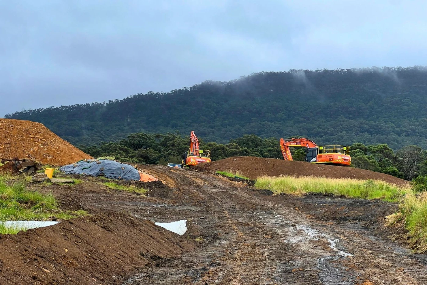
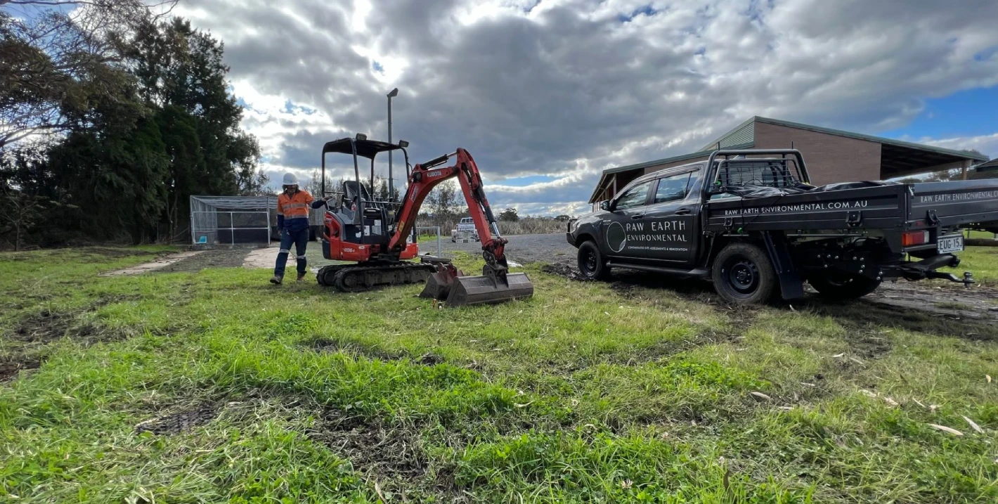
Field testing
On-site investigation methods may include:
- Borehole drilling
- Test pits
- Cone Penetration Testing (CPT)
- Soil and rock sampling
- Groundwater observations
Testing depth and frequency depend on the size and risk profile of the development.
Laboratory analysis
Soil samples are tested under controlled conditions to determine:
- Soil classification under Australian Standards
- Moisture content
- Strength properties
- Compaction characteristics
- Reactivity potential
Engineering interpretation
Qualified geotechnical engineers interpret results and provide recommendations for:
- Foundation design
- Earthworks requirements
- Ground improvement
- Drainage and groundwater management
The findings are documented in a geotechnical report for use by designers and certifiers.
How Is a Geotechnical Survey Different From Soil Testing?
The terms are sometimes used interchangeably, but they are not identical.
- Soil testing generally refers to laboratory analysis of soil samples
- A geotechnical survey includes site investigation, sampling, laboratory testing and engineering interpretation
The survey is the broader process. Soil testing is one component of it.
Who Typically Requires a Geotechnical Survey?
Geotechnical surveys are relevant to:
- Property developers
- Construction companies
- Industrial operators and manufacturers
- Government agencies and local councils
- Real estate investors
- Landfill operators
- Fuel and petroleum companies
- Education, childcare and aged care facility managers
- Insurance and disaster recovery organisations
Any project that relies on ground stability should consider early investigation.
What Happens If You Don’t Conduct a Geotechnical Survey?
Failing to investigate site conditions can result in:
- Structural damage and costly repairs
- Delays in approvals
- Redesign expenses
- Increased remediation costs
- Compliance issues
Ground failures are often significantly more expensive to rectify than to prevent.
Early investigation reduces uncertainty and supports informed decision-making.
Final Considerations
A geotechnical survey provides critical information about soil and groundwater conditions before development begins. It supports safe foundation design, regulatory compliance and long-term asset performance.
For residential, commercial or industrial projects, understanding ground conditions is not optional. It is a core step in responsible development planning.
If you are preparing for construction or land development and require guidance on site investigation requirements, professional environmental and geotechnical advice can help clarify scope, compliance obligations and risk management considerations.
Plan Your Development with Confidence
A well-planned geotechnical survey provides the data needed to support safe foundation design and regulatory approvals.
If you are preparing for construction, subdivision or land redevelopment, contact Nova Group Pacific to discuss your site investigation requirements.
Frequently Asked Questions About Geotechnical Surveys
What is the purpose of a geotechnical survey?
A geotechnical survey assesses soil, rock and groundwater conditions to determine whether land is suitable for construction. It identifies ground stability, bearing capacity, soil reactivity and potential risks such as settlement or subsidence. The results are used to inform foundation design and ensure compliance with Australian building standards.
Is a geotechnical survey required for residential construction in Australia?
In most cases, yes. Residential projects require site classification under the National Construction Code (NCC). This classification is based on soil testing undertaken during a geotechnical survey. The findings guide footing and slab design to reduce structural movement.
What is the difference between a geotechnical survey and a geotechnical report?
A geotechnical survey refers to the investigation process, including site inspection, drilling, soil sampling and laboratory testing. A geotechnical report is the formal document that presents the findings, site classification and engineering recommendations.
The survey gathers the data. The report communicates the results.
How long does a geotechnical survey take?
The timeframe depends on site size and complexity. A small residential site may require only a few days for fieldwork and analysis. Larger commercial, industrial or subdivision projects may take longer due to deeper drilling, additional testing and engineering review.
What happens if a geotechnical survey is not conducted?
Without a geotechnical survey, foundation design may be based on assumptions rather than site-specific data. This can lead to structural cracking, uneven settlement, drainage problems and increased remediation costs. Early investigation reduces risk and supports regulatory compliance.