


.jpeg)
Introduction
A geotechnical assessment report serves as a comprehensive examination of the geological and soil conditions at a specific site. It delves into the composition of the earth, assessing factors such as soil stability, bearing capacity, groundwater levels, and potential risks like landslides or subsidence. This detailed analysis provides crucial data that informs the design, construction, and safety protocols of a project.
In Australia, geotechnical reports are commonly required for residential, commercial, and infrastructure projects and are often requested as part of development applications (DAs), construction certificates, or engineering design processes.
Understanding the Geotechnical Assessment Report
A geotechnical assessment report is a comprehensive document that goes beyond mere data collection; it's a strategic tool for mitigating risks and optimising the performance of construction projects in an ever-changing geological landscape.
At its core, a geotechnical assessment report provides a detailed analysis of the soil and geological conditions specific to a project site. This analysis is crucial for understanding the site's suitability for construction and identifying potential challenges that may arise during the project lifecycle.
Soil stability & bearing capacity
One of the primary objectives of a geotechnical assessment report is to assess soil stability and bearing capacity. Engineers meticulously examine soil samples collected from the site, subjecting them to a battery of tests to determine their mechanical properties, shear strength, and compressibility. These findings lay the groundwork for designing appropriate foundations and structural systems that can withstand the demands imposed by the surrounding soil.
Groundwater conditions
Furthermore, a geotechnical assessment report delves into groundwater conditions, evaluating factors such as water table depth, permeability, and potential for seepage. Understanding these hydrological aspects is vital for designing effective drainage systems and mitigating risks associated with water-related hazards such as flooding or soil erosion.
Geological hazards
In addition to assessing soil and groundwater conditions, a geotechnical assessment report also identifies potential geological hazards that may pose risks to the project. This includes phenomena such as landslides, subsidence, seismic activity, and the presence of expansive soils. By identifying and quantifying these hazards, engineers can implement appropriate mitigation measures to safeguard the project and its surroundings.
Practical design implications
Ultimately, a geotechnical assessment report serves as a roadmap for navigating the complexities of the subsurface environment. It provides stakeholders with the knowledge and insights needed to make informed decisions, mitigate risks, and ensure the successful execution of construction projects.
In practical terms, a geotechnical report typically informs decisions such as:
- Foundation type and depth
- Slab design and footing systems
- Earthworks and excavation methods
- Drainage and groundwater management
- Construction sequencing and risk controls
When Should I Get a Geotechnical Report?
The need for a geotechnical report arises at various stages of a project lifecycle. Primarily, it is essential during the planning phase, before any significant construction activities commence. By conducting a geotechnical assessment early on, engineers can identify potential challenges and mitigate risks before they escalate, ultimately saving time and resources.
Additionally, a geotechnical report is indispensable when significant modifications are proposed to existing structures or when encountering unforeseen ground conditions during construction. In essence, the rule of thumb is: when in doubt about the ground beneath your project, it's time to commission a geotechnical investigation.
You will commonly need a geotechnical report in Australia when:
- Building a new house, duplex, or multi-residential development
- Designing structural footings or slabs
- Lodging a Development Application (DA) or Construction Certificate (CC)
- Constructing on sloping, filled, or coastal land
- Extending or significantly altering an existing structure
- Developing commercial, industrial, or infrastructure projects
➜ Planning a project? Request a scope and quote for your site.
Contents of a Geotechnical Investigation
So, what precisely does a geotechnical investigation entail? Typically, it encompasses several key components:
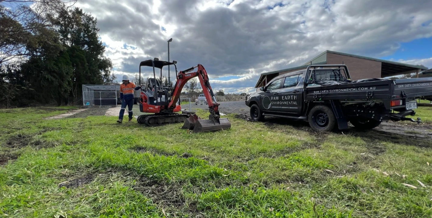
- Site inspection and sampling: Experienced geotechnical engineers conduct on-site inspections to assess ground conditions visually. They also collect soil samples for laboratory analysis, providing invaluable data on soil composition and properties.
- Laboratory testing: Soil samples undergo rigorous laboratory testing to determine characteristics such as density, moisture content, shear strength, and permeability. These findings are crucial for assessing the suitability of the site for construction and designing appropriate foundations.
- Analysis and interpretation: Engineers analyse the collected data to assess potential risks and make recommendations for foundation design, earthworks, and soil stabilisation measures. This step forms the crux of the geotechnical report, providing actionable insights for stakeholders.
Why Do I Need a Geotechnical Survey?
Identifying and mitigating ground condition risks
A geotechnical survey serves as a proactive measure to identify and mitigate risks associated with ground conditions. By conducting thorough investigations, engineers can preemptively address challenges such as soil erosion, slope instability, or foundation settlement. This proactive approach not only enhances safety but also prevents costly delays and structural failures down the line.
Uncovering hidden subsurface challenges
One of the primary benefits of a geotechnical survey is its ability to uncover hidden challenges that may lurk beneath the surface. Through a combination of on-site inspections, soil sampling, and laboratory testing, engineers gain a comprehensive understanding of the geological and soil conditions specific to the project site. This proactive approach enables stakeholders to address potential issues such as soil instability, groundwater seepage, or geological hazards before they escalate into costly problems.
Optimising project design and construction processes
Furthermore, a geotechnical survey serves as a strategic tool for optimising project design and construction processes. By providing valuable data on soil properties, bearing capacity, and groundwater conditions, engineers can tailor their designs to suit the unique characteristics of the site. Whether it's selecting appropriate foundation systems, designing earthworks, or implementing soil stabilisation measures, the insights gleaned from a geotechnical survey empower engineers to make informed decisions that enhance project efficiency and resilience.
Supporting risk management and mitigation
Moreover, a geotechnical survey plays a pivotal role in risk management and mitigation. By identifying potential hazards such as landslides, subsidence, or seismic activity, engineers can implement targeted mitigation measures to safeguard the project and its surroundings. This proactive approach not only enhances safety but also minimises the likelihood of costly delays, disputes, or structural failures down the line.
A proactive investment in project success
A geotechnical survey is a proactive investment in project success, offering invaluable insights into ground conditions and potential risks before construction commences. By harnessing the power of proactive investigation and analysis, engineers can optimise project design, enhance safety, and mitigate risks, ensuring the successful execution of construction and development projects in an ever-changing geological landscape.
In many cases, the cost of a geotechnical investigation is minimal compared to the potential cost of rectifying foundation failures, redesigns, or construction delays.
How Long Does a Geotechnical Report Take?
The duration required to complete a geotechnical report can vary depending on various factors, including the size and complexity of the project, accessibility of the site, and the extent of testing required. Typically, a comprehensive geotechnical investigation may take several weeks to complete, from initial site assessments to the finalisation of the report.
Early engagement is recommended to avoid delays during planning approvals or construction scheduling.
Conclusion
A geotechnical report serves as a cornerstone of informed decision-making in construction and development projects. By providing valuable insights into ground conditions and potential risks, it empowers engineers and stakeholders to navigate challenges effectively and ensure the success and longevity of their endeavours.
➜ Request a geotechnical scope and quote to assess your site’s soil stability, groundwater conditions, and potential hazards before construction begins. Receive clear, practical recommendations that help protect your project from costly delays, design changes, and structural risk.